
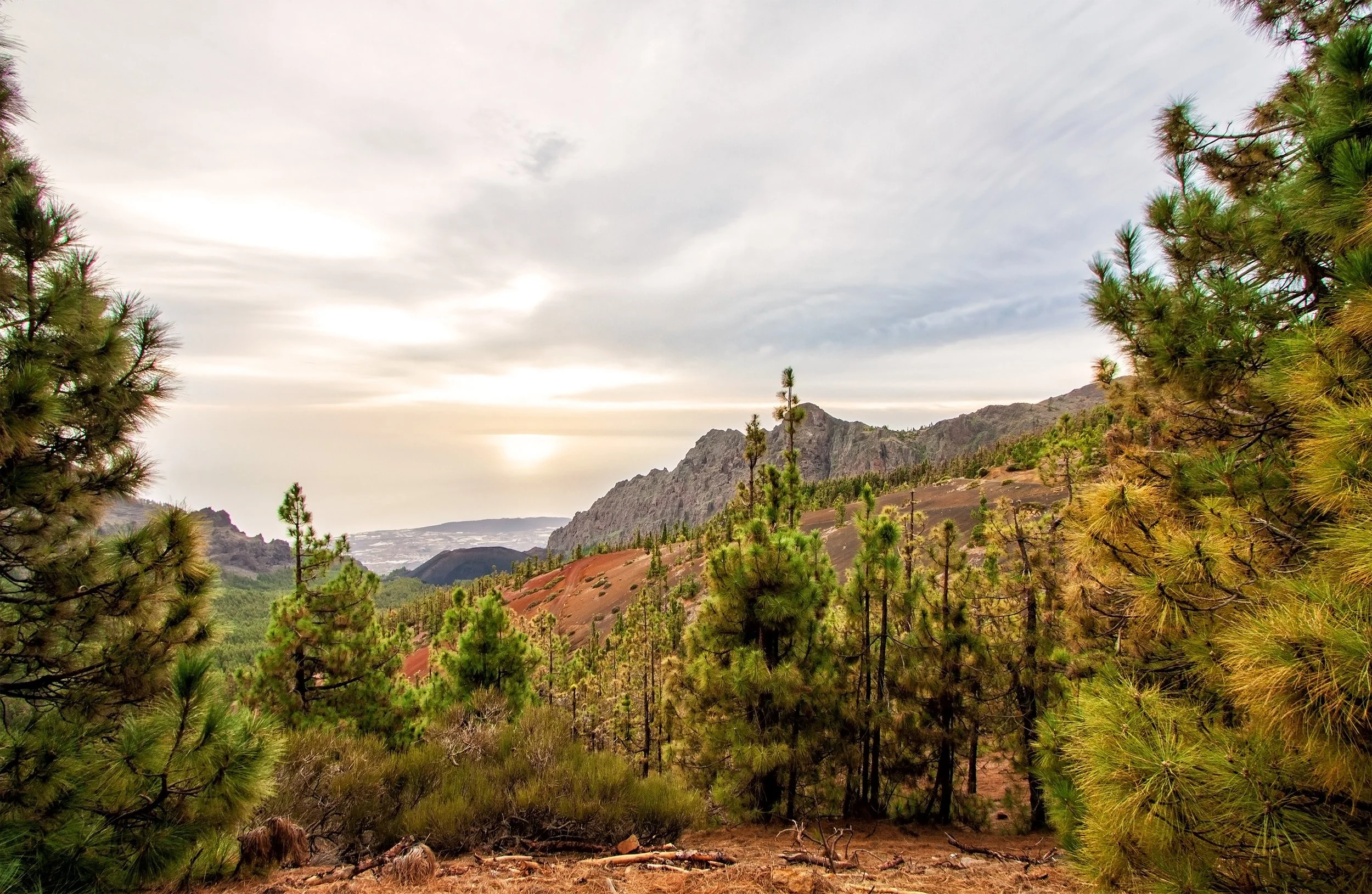
Tenerife’s trekking paradise calls to wanderers of every stride
Grade 1 Treks
EasyDiscover Tenerife’s beginner-friendly hiking paths, ideal for novices. These well-established, rocky, dry trails offer gentle routes, perfect for begginer hikers seeking adventure.
Duration: 2–4 hours
Max Elevation Gain: 300–500m
Distance: 10–14 km
Fitness Level: 1
Start Time: 09:00
Perfect for those seeking a gentle challenge and a relaxed, sociable adventure — with plenty of scenic stops, photo opportunities, and a pace suited to anyone in good health.
Grade 1.1 Trekking Route
Vilaflor to Camino Trevejos Via: Corona Forest
Distance: 8km (options to increase)
Elevation: 347m
Time EST: 2:40
Route: Well established loop
Conditions: Partially Shaded | Forest | Views
From the historic village of Vilaflor, we head onto the ancient trading road Camino de Trevejos and into the beautiful Corona Forest, where we can enjoy the scent of pine trees and the ascent to Montaña de la Vica. The views in this unique environment are stunning as we travel further into the forest, which opens up to vistas of Montaña de las Lajas, El Sombrero, and Roque del Almendro. This trail is very peaceful, and the sunrise views make an early start well worth it!

Grade 1.2 Trekking Route
Portillo Alto to Riscos de la Fortaleza Via: Roque del Peral
Distance: 10km (options to increase)
Elevation: 350m
Time EST: 2:40
Route: Well established out & back
Conditions: Exposed | Volcanic Terrain | Views
After experiencing a stunning drive through the national park, we arrive at our starting point, Portillo Alto. This hike takes us past Roque del Peral and along easy paths with magnificent views of Teide and Montaña Blanca. A short ascent brings us to Riscos de la Fortaleza, where the views are truly unbeatable — a camera is a must! This hike is perfect if you’re after spectacular views of the park without committing to a long outing. From halfway in, the silence is incredible, and walking this trail under the stars is an unforgettable experience.
Grade 2 Treks
ModerateFor those with hiking experience looking for a rewarding challenge at a comfortable pace. These routes follow well-established trails that are dry, rocky, technical, and undulating.
Duration: 4–6 hours
Max Elevation Gain: 500–1300m
Distance Average: 15–20km
Fitness Level: 2
Start Time: 08:00
Ideal for those with a solid base of fitness who can comfortably run or hike 10–15km, with plenty of scenic stops and viewing points along the way.

Grade 2.1 Trekking Route
Vilaflor to Paisaje Lunar Via: Corona Forest
Distance: 15km (options to increase)
Elevation: 740m
Time EST: 4–4.5
Route: Well established loop
Conditions: Shady | Forest | Views
From the quaint village of Vilaflor, we follow the old Camino trail—an historic route once used by shepherds and traders—into the peaceful Corona Forest. Our hike leads us towards the Paisaje Lunar, a series of striking sedimentary rock formations set against sweeping views. The forest is tranquil and fragrant, and although the trail is rocky in places, regular stops make it both manageable and enjoyable.

Grade 2.2 Trekking Route
Parador de Las Cañadas del Teide to Alto de Guajara Via: Caldera de Las Cañadas
Distance: 11km (options to increase)
Elevation: 690m
Time EST: 4–4.5
Route: Well established loop
Conditions: Rocky | Exposed | Views
After a stunning drive into the national park, we arrive at the Parador de Las Cañadas del Teide at 2152 m. You’ll be blown away by the landscape – and it only gets better. Ahead of us lies the Caldera de Las Cañadas, with views of Teide, Pico Viejo, and Montaña Blanca. We’ll reach the summit at your pace, and at the top, not only will you enjoy breathtaking views of the park, but you’ll also find remnants of the hut where the famous astronomer Jean Mascart observed Halley’s Comet in 1910.
This hike is also incredible at night – the skies over the park are spectacular. We’ll descend from 2715 m on the opposite side. The trail is well-established and safe, and we’ll travel at a pace that suits you.
Grade 3 Treks
ChallengingThese routes are ideal for experienced hikers looking to test themselves — perfect preparation for long-distance challenges. Trails are well-established but dry, rocky, and steep in places, with elevations reaching up to 3555 metres.
Duration: 4–8 hours
Max Elevation Gain: 1200–2000m
Distance: 15–30km
Fitness Level: 3
Start Time: 07:00
These routes are designed for experienced trail runners and hikers who can comfortably cover 20km or more off-road, carrying a pack with at least 2 litres of water and essential gear for several hours on the trail.

Grade 3.1 Trekking Route
Parador de Las Cañadas del Teide to Pico Viejo Via: Roques de García
Distance: 13km (options to increase)
Elevation: 1000m
Time EST: 6–7
Route: Well established out & back
Conditions: Rocky | Exposed | Views
Starting from Parador de Las Cañadas del Teide, after a beautiful drive to get there, we head towards the statuesque Roques de García. From there, we follow the trail with Los Regatones Negros in view. We continue on to the crater of Pico Viejo, surrounded by the unique landscapes of the Caldera, Teide, and Montaña Guajara. On a clear day, we can even see La Gomera, La Palma, and Gran Canaria. There are plenty of photo opportunities and well-earned breaks along the way.

Grade 3.2 Trekking Route
Vilaflor to Parador de Las Cañadas del TeideVia: Montaña Guajara
Distance: 15km (options to increase)
Elevation: 1384m
Time EST: 6+
Route: Well established point to point
Conditions: Rocky | Exposed | Views
Setting out from Vilaflor, we head along the TF-72 Paisaje Lunar trail into the Corona Forest. The trail is rocky at first, but soon opens into beautiful forest paths. We pass the unique rock formations of Paisaje Lunar and continue upwards through ever-changing scenery. We cross a volcanic plain before climbing to incredible viewpoints, then begin our ascent to Alto de Guajara at 2718 m. From here, we enjoy sweeping views of the national park before choosing between two descent routes to our finish point.
Price List
| 1 Person | 2 People | 3 People | 4 People | 5 People | 6 People | |
|---|---|---|---|---|---|---|
| Grade 1 | €55 | |||||
| Grade 2 | €85 | |||||
| Grade 3 | €125 |